- Thumbnail
- Resource ID
- e8b1b0b8-6f6a-11e9-8d7d-000d3ab6a624
- Title
- TM-BRB_Bathymetry-1999-2m Resolution
- Date
- May 5, 2019, 2:20 p.m., Publication
- Abstract
- This dataset displays Contours derived from a bathymetric surface gridded from a LIDAR survey of Barbados performed in 1999. Aerial LIDAR has a maximum water penetration of about 40m and as such the LIDAR information (and resulting contours) do not extend far beyond this depth. LIDAR information was originally collected in the Barbados National Grid coordinate system and subsequently converted to WGS84 via a coordinate frame transformation.
- Edition
- --
- Owner
- gridanode
- Point of Contact
- devrsgis@gmail.com
- Purpose
- --
- Maintenance Frequency
- None
- Type
- not filled
- Restrictions
- None
- None
- License
- None
- Language
- eng
- Temporal Extent
- Start
- --
- End
- --
- Supplemental Information
- No information provided
- Data Quality
- --
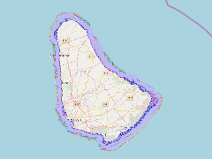
- Extent
-
- long min: -59.6662700245
- long max: -59.3954444089
- lat min: 13.0247425713
- lat max: 13.3505753539
- Spatial Reference System Identifier
- EPSG:900913
- Keywords
- no keywords
- Category
- None